Reporting
Site marking (paint, chalk, etc) with depths and alignments is provided as a part of our general locating work. We also provide a site record and, detailed reports (on request for an additional fee), that can be supplied to a certifier for building approvals, an engineer for design purposes, or a surveyor for inclusion in survey work. Reports form a permanent record of the underground assets at your property or site at the time the work was conducted.
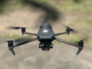
Reports include photographs, measurements, any available plans and specific information about the site. Through our sister company, Hazard Wise Solutions Pty Ltd, we can offer mapping services, including the implementation of remote-piloted aircraft (drones) and GNSS survey equipment to provide accurate plans and 3D modelling, as required. The plans can be provided in PDF and CAD formats for inclusion with other project data, or as a stand-alone record.

